Newsletter: September 2026

FEATURED POST

Redistricting Tracker: What Changed in 2025 and 2026

Congressional district lines are moving mid-decade, and that matters for anyone who measures, reports, or plans by district. Our new article tracks the redistricting changes of 2025 and 2026: which states redrew, where lines shifted, and what it means for comparing district-level data over time. It’s the third part of our redistricting series, and we’ve refreshed the first two below, covering what gerrymandering is and how it works, and what can be done about it.

Read More
PolicyMap for Salesforce
ON THE BLOG
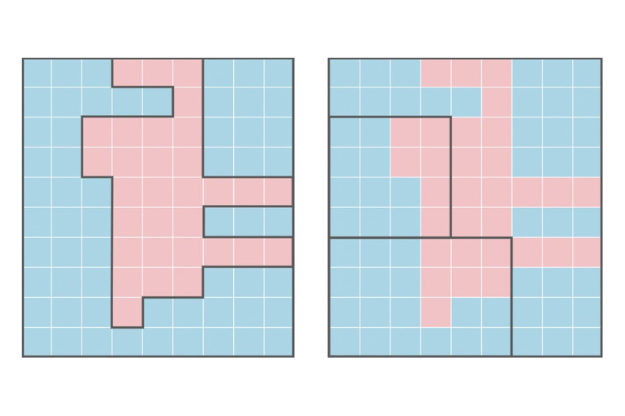
Gerrymandering grid

A Deeper Look at Gerrymandering

Ten states have moved to redraw their congressional maps since mid-2025, and district-level data may no longer compare to its own history. The first installment of our three-part redistricting series explains how gerrymandering works and what’s changed in the law since we first covered it in 2017.

Read More

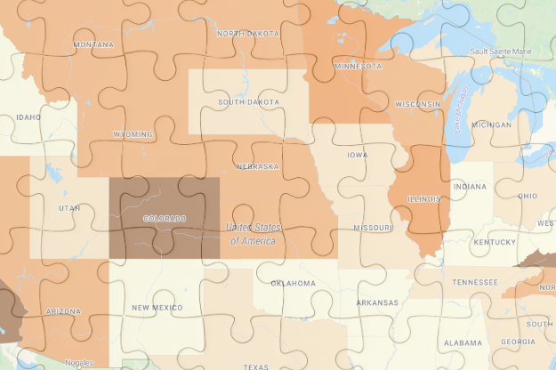
Map puzzle thumbnail

Solutions to Gerrymandering

The courts have narrowed what counts as a harm they can fix. They haven’t changed what can be measured. Part two of our redistricting series looks at the tools and forums still available, and why the evidence matters even when the remedy is out of reach.

Read More

Full Data Catalog
WEBINAR RECORDING
webinar thumbnail

Data-Driven Grantmaking in Practice: A Conversation Among Peers

In this session, Dogwood Health Trust and Interact for Health share how they use data and mapping to guide internal decisions, track community needs, and extend data access to partners. Both use custom regions to report on the exact areas they serve, even when those cross state or county lines.

Moderated by Kristin Crandall of PolicyMap, the session featured panelists Meade Inglis-Jenson of Dogwood Health Trust and Colleen Desmond of Interact for Health.

Watch Now

Request a demo
New and Updated Data

**New Data** Home Price to Income Ratio is now live on PolicyMap. This new dataset displays an estimate of the number of years required to afford a home in a given zip code, using data from Black Knight and the IRS.

Health Professional Shortage Areas (HPSA) data from HRSA has been updated to 2026.

FEMA’s National Risk Index data has been updated to December 2025 data.

U.S. Religion Census has been updated on PolicyMap!

The New Market Tax Credit (NMTC) investments have been updated to cover the most recent 2019-2023 time period. Historical data has also been updated and expanded to provide more comprehensive trend charts over time.

BLS Local Area Unemployment (LAU) monthly statistics data has been updated through July 2026.

We are committed to our promise of curated, cleaned, standardized, and always updated data. We’re posting real-time updates on our website, LinkedIn and BlueSky.

In case you missed it

Love PolicyMap? Let us know!

We want to hear from you. Take 2-3 minutes to tell us about your experience using PolicyMap.

To thank you for your time and feedback!

Open PolicyMap Training Sessions

Offered twice a week. Register here.

Level 1: Learning the basics of PolicyMap
Level 2: Learn the Data Loader, Multi-Layer Maps, and other Advanced Features

Open to non-subscribers. Course times rotate weekly. Don’t see a time that works for you?
Contact us.

Upcoming Events

Join Us!

NCQA Health Innovation Summit
Oct 4 – 7, 2026
Atlanta, GA

PolicyMap is thrilled to join the 2026 NCQA Health Innovation Summit! Stop by booth #143 to meet the PolicyMap team and learn how geospatial data can help address health disparities and improve care for vulnerable populations. We hope to see you there.
Register here!